 Vixati
I was representative of the country Vixati from 1982 until 1988. When I went to live on my own, I weighed the amount of paper I had gathered about the country. It was forty kilos.

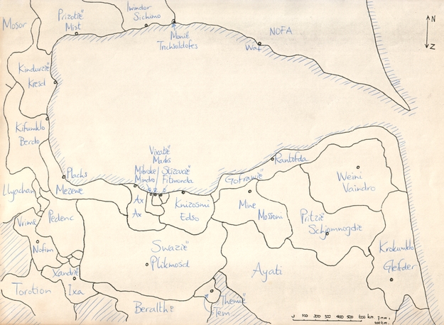
Map of Augisti.
A better map of Augisti than the one you see above does not exist.

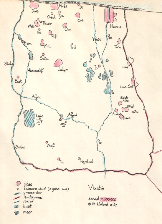
Map of Vixati.
Vixati was a relatively small country. The biggest distance within its borders was about 100 kilometers from the north to the south, and the country had about one million inhabitants. The capital was Marbs, but Mantrio was the biggest and most important city in the country. The map you see above is dated February 1987.
For almost three years, from when I was sixteen until when I was nineteen, I wrote a magazine with news from Vixati, called the Post uit Vixatië. I sent it to around ten people I knew were interested.